The Living Lake

Green Bay is part of the collection.

Trails and boardwalks lead through dunes, swales, woods, and shoreline history — all part of the Green Bay landscape that made fishing life here possible.

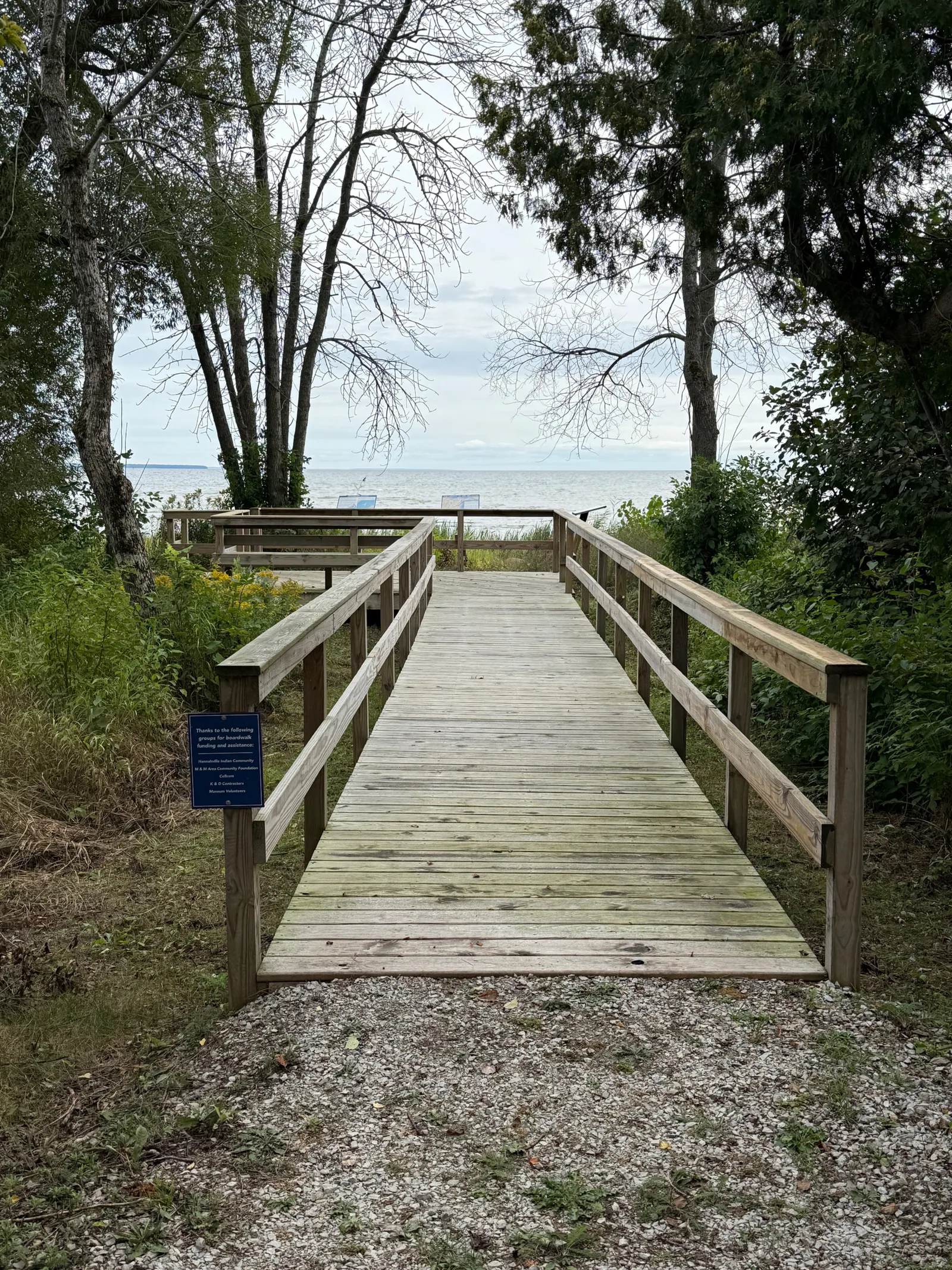
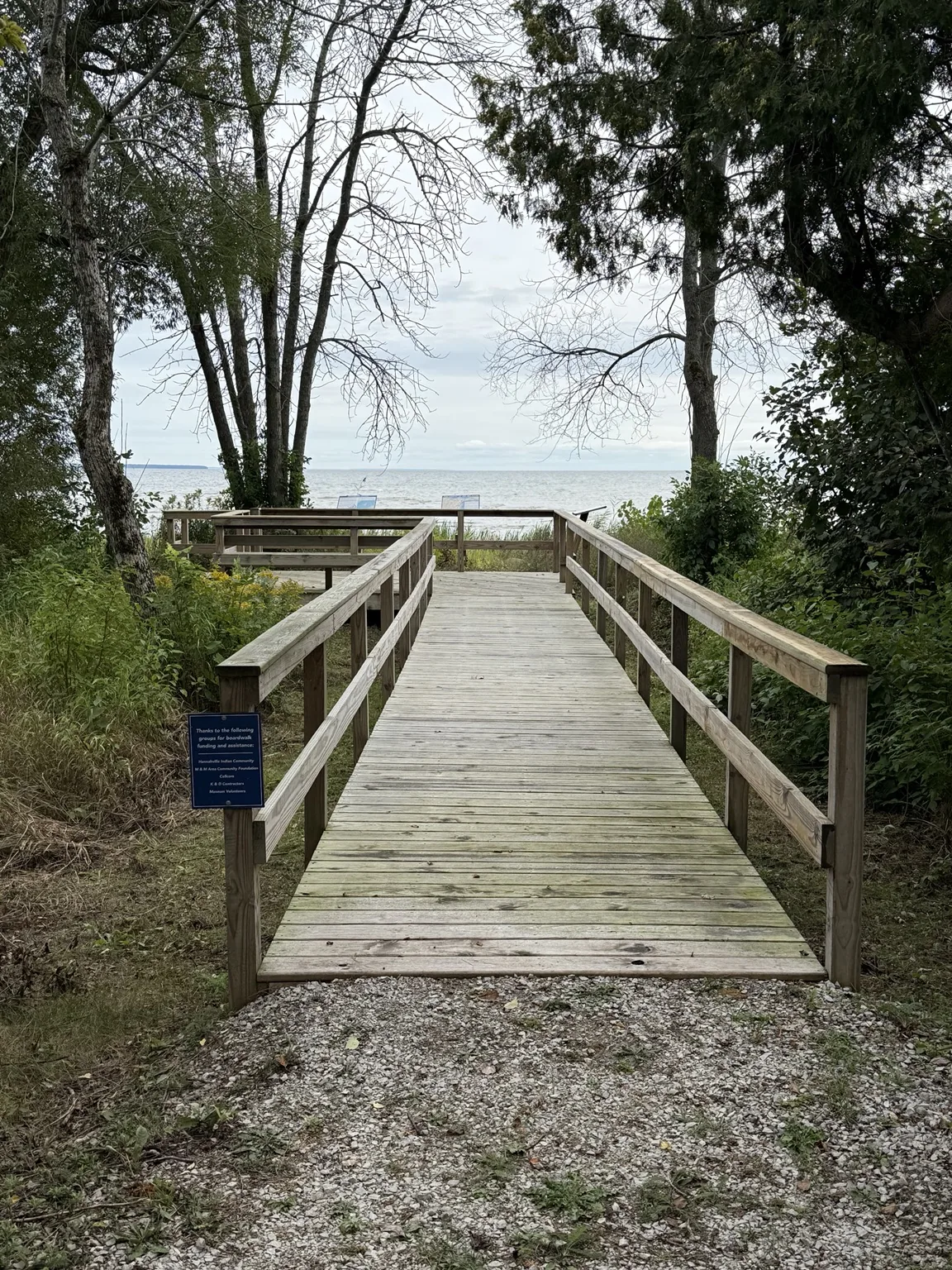
Boardwalk approaching Lake Michigan
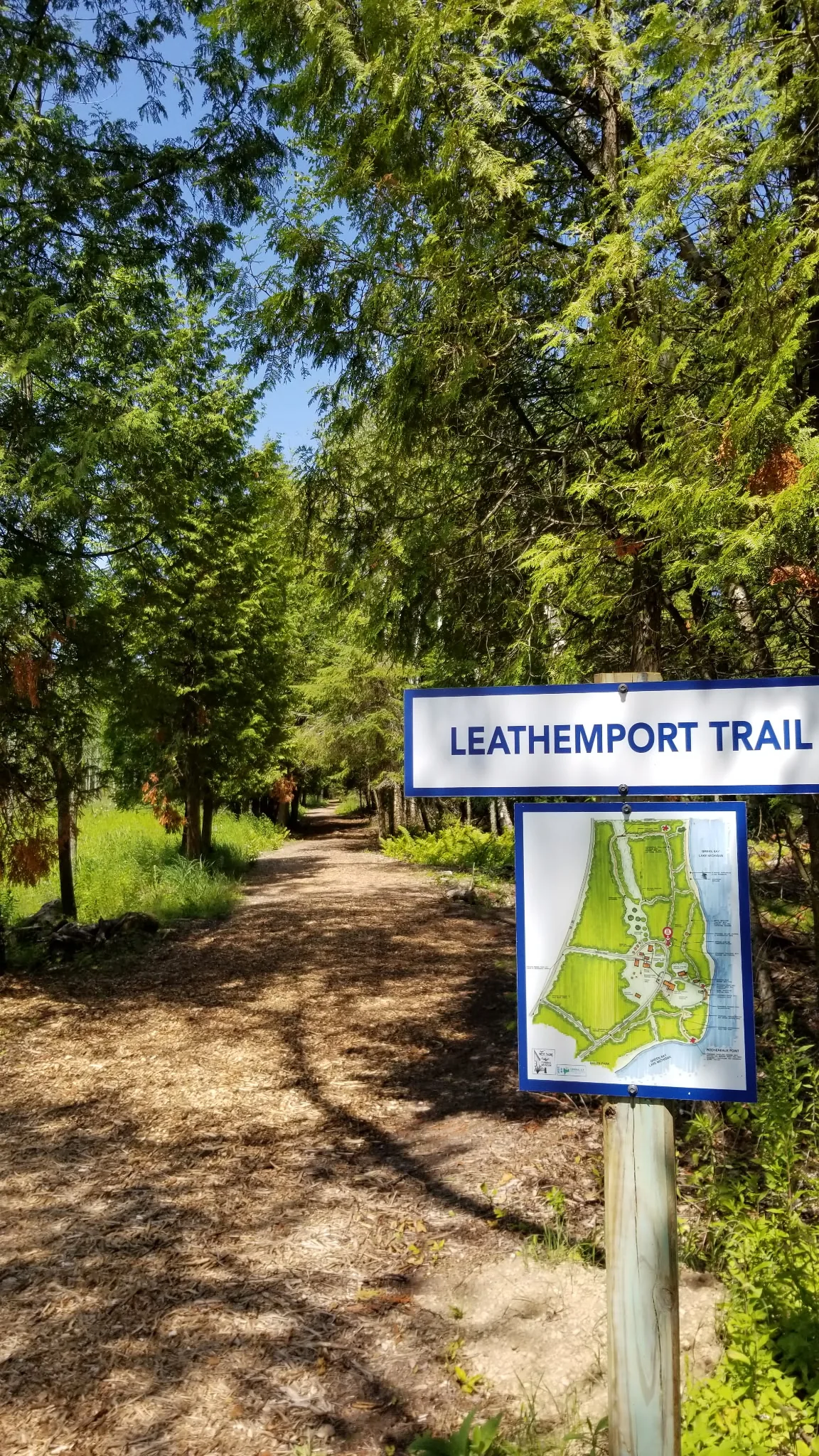
Wooded trail on the West Shore grounds
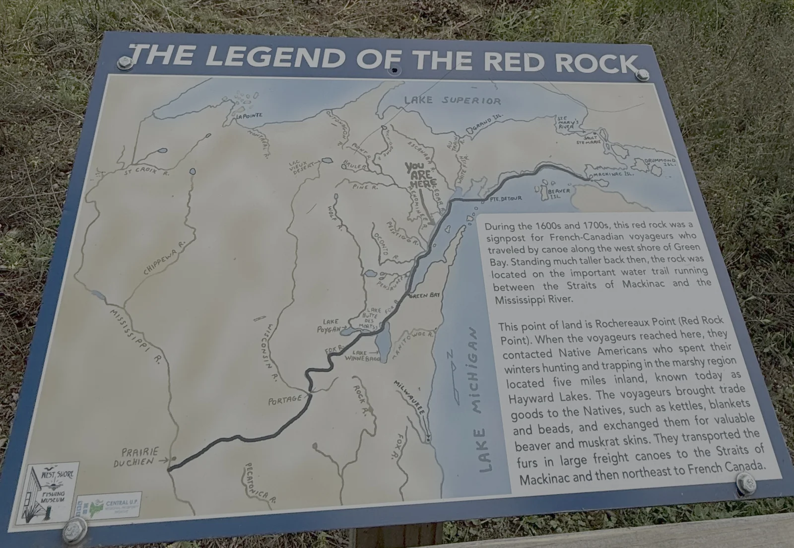
Red Rock at Rochereaux Point

Red Rock & Rochereaux Point

Once a prominent landmark for voyageurs traveling the west shore of Green Bay, Red Rock still marks a deeper story of travel and trade along the lake.

In the 1600s and 1700s this red rock was a signpost for French-Canadian voyageurs paddling the west shore of Green Bay on the water trail between the Straits of Mackinac and the Mississippi River. The rock stood much taller then. The point of land is Rochereaux Point, Red Rock Point, and it was here that voyageurs met Native Americans who wintered hunting and trapping in the marshes five miles inland, known today as the Hayward Lakes. Kettles, blankets, and beads were traded for beaver and muskrat pelts, which went north by freight canoe to Mackinac and on to French Canada.

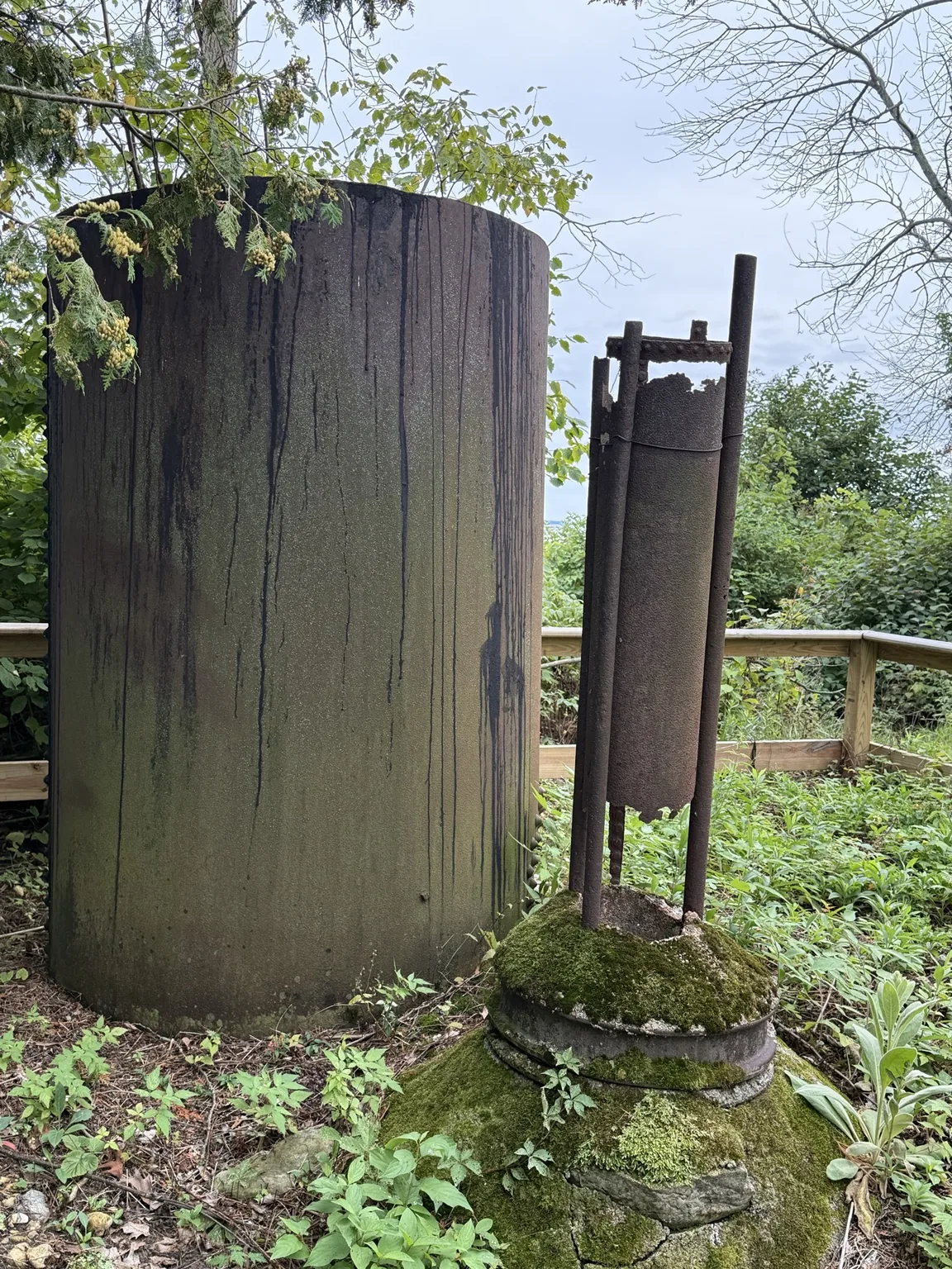
Recovered tar vats near Red Rock Trail

The Tar Vats

Recovered near Red Rock Trail, these vats held the heated tar that fishermen dipped their cotton and linen nets in. Untreated twine rotted in weeks in the cold water of Green Bay; tarred twine held up for a season. Every net that went out came back here to be cleaned, mended, and dipped again.

Why tar a net? →

The Red Rock boardwalk and viewing platform, illustrated

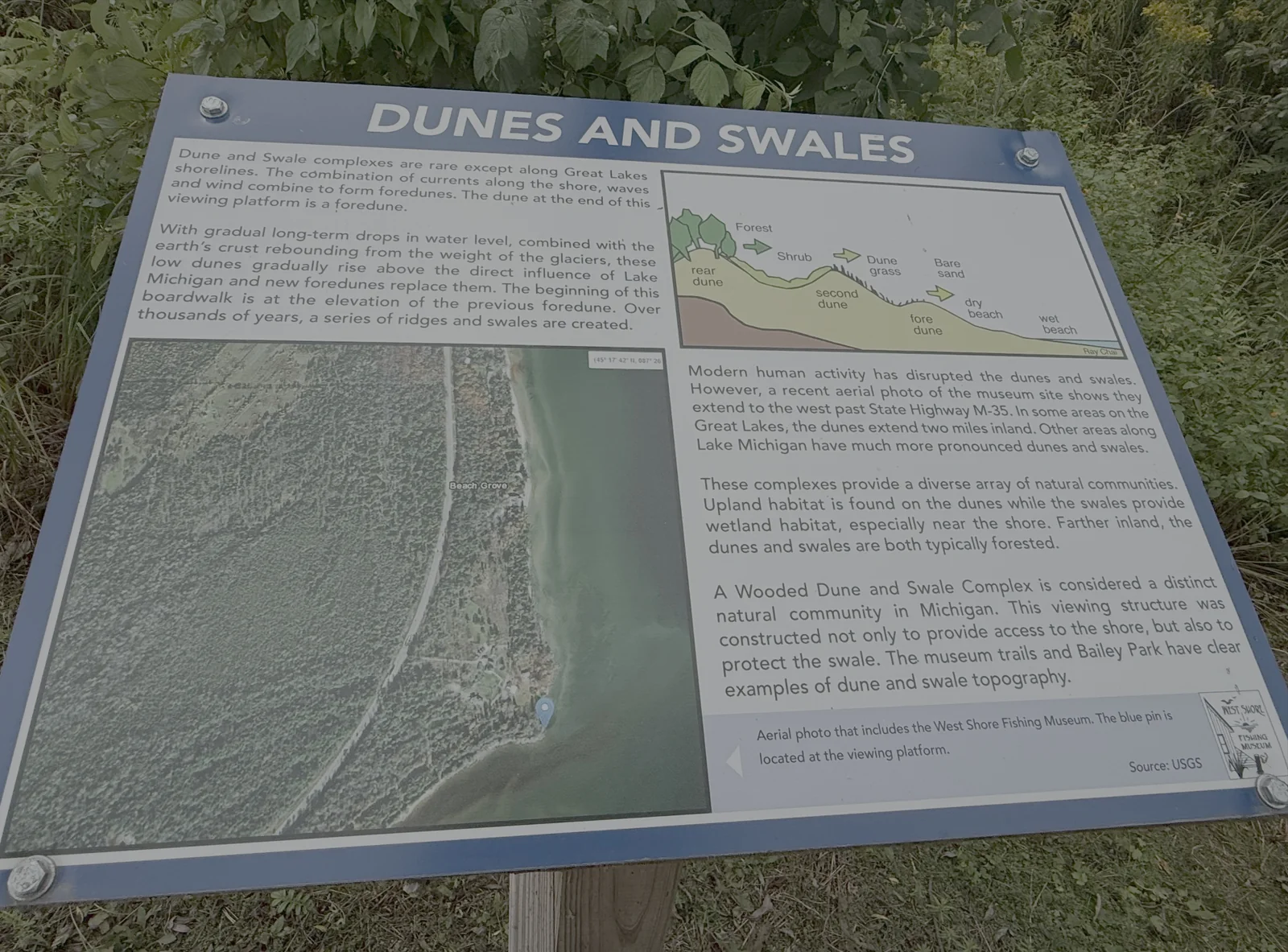
Dunes & Swales

The boardwalk crosses a wooded dune and swale complex, a landform found almost only along Great Lakes shorelines. Currents, waves, and wind build a foredune at the water’s edge; the dune at the end of the viewing platform is one. As lake levels fell over thousands of years and the land rebounded from the weight of the glaciers, each foredune was left behind and a new one formed, leaving a series of ridges and wet swales. The start of the boardwalk sits on the old foredune. Dunes carry upland habitat and the swales hold wetland, and farther inland both are forested. The platform was built to reach the shore while protecting the swale beneath it, and the museum trails and Bailey Park show the ridge-and-swale pattern clearly.

Trails & shoreline

Walk the grounds.

North trailsLeathemport, Native American, Ridge, and Savanna trails open from the northern entrance.
South trailsRed Rock and Hemlock trails lead toward the shoreline.
Boardwalk & viewing platformAn accessible boardwalk reaches a platform on Green Bay near historic Rochereaux Point, crossing a wooded dune-and-swale complex on the way.
BeachThe grounds reach the water at a quiet stretch of sand and scattered stone.
Picnic areasMake a longer afternoon of your stop.
Find your wayThe grounds map can show your position and open the stories at each place.